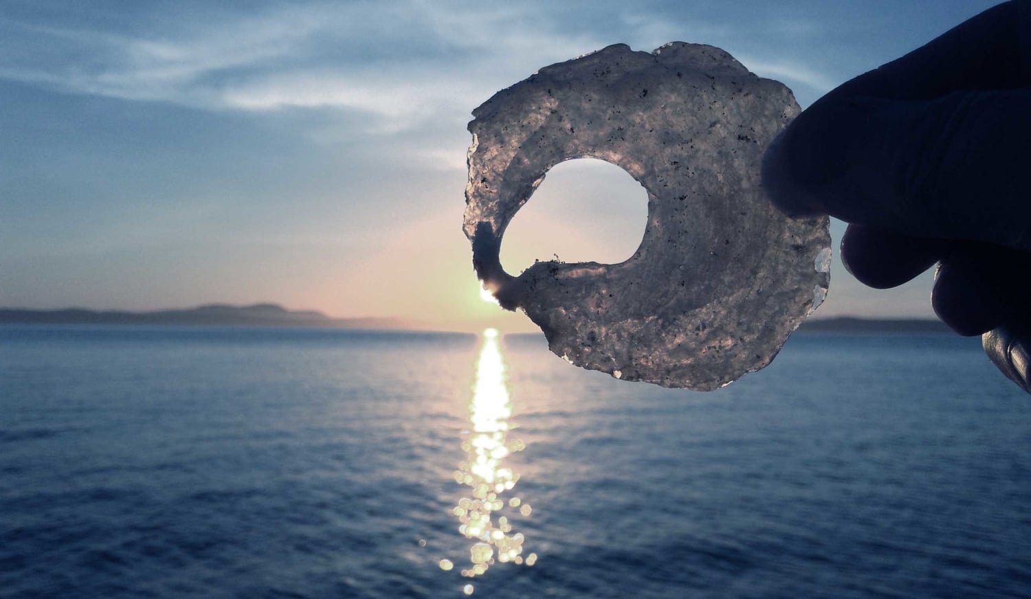
The Distracted Isle

Well, civilization is finally coming to Lopez Island. After at least a decade of avoiding the ubiquity of cell towers, our electric utility Opalco has signed an agreement with T-Mobile to install 4G LTE cell towers on utility poles around the island. A few have already gone up, and many more are planned (38 in total for the County).

Many citizens are concerned about this development, for varying reasons. Some folks are concerned with the possible adverse health effects of electromagnetic radiation (a.k.a. EMR); some folks are not worried about EMR per se, but feel that having "good" cell phone reception will negate some of the advantages of living in a community that isn't quite as obsessed with connectivity as the mainland (a.k.a. America).

I am in the latter group. A few years ago I wrote about the EMR kerfluffle as it was unfolding at the time, when the broadband plan was initially put forth. I am not convinced that the electromagnetic "radiation" (scary word!) from cell towers is any more toxic to our health than other radio frequencies, or wood smoke, or arsenic in groundwater, or any other of a million things that we are exposed to on a daily basis.

But I do see a real threat to our local culture as the "always connected" mindset begins to dominate, and we are expected to keep up with everything...

Speed it up!

Speed it up!

I'm one of a gazillion people who are writing about this very same subject at this moment. There's no doubt that as human beings, we are losing something when the cell phone becomes a dominant feature in every interaction between human individuals, and between humans and the world around us. Does a sunset or a flower exist for itself, or so we can post it on Instagram? If we do not "capture the moment" does it negate the experience? (I take pictures and post them on Instagram, so I'm not casting any stones here...)

One reason these questions concern me is that I am acutely aware of my own neurological tendency to be distracted, and how the internet fuels that distraction. I make a living on the internet, and more than that I have come to depend on it as a source of knowledge and information. I spend hours just about every day online, and I think I'm pretty good at using the Interwebs. I get the internet: it's cool, it's fun, and it's very, very useful.

But when I step outside, I'm not connected to the Web, and neither are the friends I'm hiking with. When you go to a gathering on Lopez it's rare to see someone glued to a screen. Lopez has a culture that, while not discouraging cell phone use, certainly doesn't encourage or fetishize it.

Recently the Chamber of Commerce came up with an idea to promote Lopez via an app—visitors could "check in" at various sites around the island and earn points to be rewarded... somewhere. (I'm not too clear on the actual goal of the thing.) People went kinda ballistic when it was revealed that a lot of our cherished natural places were going to be "check in" spots. Fast forward, and the natural sites were removed from the app—but the fact is that someone (or more accurately many someones) thought it appropriate that visitors would use our beaches, trails, rocky bluffs, and forests as if they were a video game.

Such is the power of this new force: we have become conditioned to accept that the natural world is just another game to consume.

OK, time for me to summon my inner crank and start snarling about "when I was a kid...!" But really, when I was a kid, we didn't have little computers in our pockets that allowed us to check out of the work around us. We had to resort to comic books and Gilligan's Island reruns for that. And Mom would stride in and turn off the TV when it was time to do homework...

Nevertheless, in the 60's kids suffered from attention deficit disorders—we just didn't generally know it at the time. I was not neurotypical: I was one of those distractable, under-achieving kids that stymied my teachers and my parents. Adding the internet into my available escape routes might have been a good thing, but it might also have been disastrous. How parents today deal with "screen time" is utterly beyond my imagination.

Clearly, we're not wired to handle the level of sensory stimulation that pervades modern life. (You can Google that if you want to. But trust me, it's true.) That's one reason why people come to places like Lopez: to unplug. A place that isn't plastered with TVs, that has crappy cell phone reception, that has amazing natural places to experience... these places are too rare, and too precious to sacrifice.

Well, looky there!

Well, looky there!

What can we as a community do about this new onslaught, this new reality of "more capacity, faster speeds, and a superb experience" ? Well, the reality is... we can't do anything about the cell towers. Federal law forbids local jurisdictions from prohibiting the "provision of personal wireless services." Even if some citizens managed to bring a case against the towers, the majority of islanders support "better" connectivity.

But maybe there is another way for us to advance the conversation. Maybe we can think of ways to nurture the idea that people visiting Lopez would voluntarily unplug—that this community values experiences that don't require an internet connection. We can put forth the idea that unplugging is good for the body and soul. We can encourage focus, instead of distraction.

We can use the tools of promotion, too—we can "brand" our own message: a message of engagement with the world around us, instead of a screen.

What do you think the LopezUnplugged Brand would look like?


Ideas

The Big Ask

"You can't always get what you want
But if you try sometimes you might find
You get what you need"
—The Rolling Stones

I've written previously about our search for a piece of land and the financial challenges therewith. While we are prepared to attempt to purchase land and build a house without outside financial support, the prospect of doing so is daunting to say the least. I decided last fall that I would approach a person who might be able to help make our dream come true, but I was paralyzed by the thought of asking for financial help.

(Earlier this week, thinking about writing this post, the phrase "the big ask" came to mind. When that phrase emerged I didn't realize that The Big Ask turns out to be A Thing: specifically, the thing that fundraisers do when they are going after a large pledge from a donor.)

I'm usually petrified at the idea of asking anyone for anything, let alone asking for money. Asking for things isn't in my nature. I usually think of this reluctance as,

"I don't need help."

But often what I'm really feeling is,

"I don't deserve help."

Putting myself out there and asking for help is something I do so seldom that I'm generally awful at doing it. So before asking this person for assistance, I knew I needed some guidance on how to actually ask for help. I turned to a very good friend of mine whom I felt would have insight and could guide me in this endeavor. We talked about the best way to approach the person, how to make our plan clear, my expectations for the outcome, and how I would feel if the person declined my request. I'm sure that had I not had this talk with my friend I never would have been able to do the Big Ask.

Over the past 30 years I have asked family members for financial assistance to purchase land a couple of times and was turned down in each case. It is evident to me now that I wasn't nearly ready to follow through, should I receive such a boon. I know it is no small thing to buy land and to build one's own home: I have several friends who have labored for decades to build their homesteads. But it's harder than ever to make that happen here in the San Juans, or most anywhere in the more desirable areas of the U.S. (My husband does occasionally remind me of the affordability of land in Alabama...) And, as I'm about to turn 56 years old in a few weeks, I was really hitting the point of "if not now, when?"

The Big Things in our lives usually require the help of others, so I decided to wrap up my pride/insecurity for a moment and lay out my case in the most honest way I could, write that letter, and send it out like a prayer on the wind.

In my letter I said that I had no attachment to the outcome—which wasn't 100% true—but I think I really was in a place where I was willing to accept that if this entreaty did not succeed, I was willing to accept that my dream simply was not to be, at least in its current form.

I had also prepared something on the order of a Plan, or at least more so than back when all I thought about was possibly getting my hands on some cash. I spent a few days on the County website researching the permitting process and getting a feel for what is involved in this bureaucratic dance. I have friends in the building industry who can be tapped for help and advice. I have considered our options for financing at various stages of the process of land acquisition, infrastructure development, and building, depending upon how much assistance we could muster.

So I began to see that the Big Ask is not really about just wanting something, but about stating clearly and unambiguously what we need, and what we plan on doing with what we ask for.

Put yourself in the picture.

I put myself in the picture. I imagined myself succeeding, and what that success would look like. I also imagined myself not succeeding, and how I would feel about that. I think knowing how to see myself when I don't succeed is the place where I feel I have the most to learn.

"Thinking of one's self as a failure is not the same as failing."
—Seth Godin, On feeling like a failure.

Enter Bernie Sanders

When I was thinking about writing this post, I registered a connection between the Big Ask in my personal life and the bigger picture of the political life of our country today. I realized this connection while reading Paul Krugman's complaint that change is incremental, that Bernie Sanders' supporters are "idealistic," and that Bernie is a "purist" who won't be able to get anything done even if he's elected. Krugman states that in the "harsh realities" of politics, idealism must bow to "hard thinking about means and ends." Krugman finishes with:

"Don’t let idealism veer into destructive self-indulgence."

Oh, really? Is that what idealism is?

It's clear that Americans have largely given up asking for the system to work for us, and have mostly accepted that our idealism is mere self-indulgence, and that our dreams and hungers are unrealistic goals in the grown-up world of modern politics.

But what if we really could make the Big Ask of our political system? To state, clearly and unequivocally, what we need, and how we want to be treated? It's no secret that the political system in the U.S. (the whole world, really) is controlled by very powerful individuals and organizations whose interests are not in any way aligned with those of ordinary people. But there are few of them, and many of us.

Bernie Sanders is talking about a revolution, but not one with the sort of bloodshed and terror that we have learned about in history books. Bernie's message is strong, insistent, but really quite simple and civil: we need—and deserve—fairness, justice, and a chance to share in the wealth of our nation.

Even if Bernie never captures the nomination (which wouldn't be a surprise, given the lock powerful interests have on the Democratic Party), millions of Americans have awakened to the realization that we do, in fact, seem to have the power to make the Big Ask. I think our power as members of civil society are being reawakened, and I'm damn excited to see it happen.

Oh and by the way, this also happens to be the Year of the Fire Monkey...

Shall we be like Fire Monkeys this year?


Notes

This post is dedicated to J__ B__, who guided me through murky waters with wisdom, gentleness, and compassion.

Armchair land exploration II

Part 2: The Past

In last week's post I provided resources for exploring our local land parcels through County records and GIS mapping system. There are also many historical resources for exploring the landscape, and this week I'll share some of them.

The Public Land Survey: or, where did all those lines on the map come from?

First of all, a couple of important questions: why are many of our land boundaries square? Who decided to divide up the land this way? You may have noticed a grid of lines on a topographic or other map. This large grid extends throughout most of the Western United States. It's a system for dividing land into parcels, and it's called the Public Land Survey System. The system arose after the Revolutionary War, when the new federal government needed to start selling off its new territories in order to pay the war debts. In order for the land to be sold, it had to be surveyed. The old European system of land surveying was called "metes and bounds," and it relied primarily on topographic features to describe the land and make boundaries. But this system isn't particularly reliable and another, more methodical system was needed.

Detail of a "metes and bounds" survey map of a California rancho

The new system relies upon a grid established upon two lines: the east-west baseline and the north-south principal meridian. Upon this framework, parallel lines of latitude are based at regular intervals, and then subdivided into survey townships of roughly 36 square miles (a square area with sides six miles long). (Note: because the earth is a curved surface, lines of latitude are not perfectly parallel to each other—they converge towards the poles, and various methods were devised to take this into account.) The boundaries of a survey township are east-west Township lines and north-south Range lines. Each township is subdivided into 36 sections of approx. 1 square mile (640 acres), and each section is further subdivided into quarter-sections of 1/4 square mile (160 acres). The federal survey only covered these quarter sections, as private surveys took over further subdivision after the land was sold.

The corners of these large divisions were (and are still) marked with monuments of various types. You may have seen one common type, which is a round bronze plaque set into the ground: there's one at Iceberg Point next to the white pillar. Often another nearby object, such as a large tree, was designated to witness the monument: thus you sometimes find a large, lone tree near a section corner called a "witness tree." Another common monument you may find on Lopez is a small bronze cover (like a small manhole) in the middle of the road. Surveyors use these monuments to set the starting point of a survey.

Principal Meridians and Base Lines of the Public Land Survey

Once this mega-grid was in place on the ground, the land could be divided and subdivided in an accurate way. The history of the western United States is inextricably bound with the land survey system: from the railroad land grants to the Homestead Acts, all development depended on the presence and accuracy of the public land survey. In the image above, you can see that not all states use the same system, but the Public Land Survey is the basis for most modern surveys.

If you've ever looked at a land deed, you might have come across something like this cryptic text: "SW1/4 NW1/4 S13, T1S R20E." This is shorthand for the land legal description, which can be translated thus: "The southwest quarter of the northwest quarter of section 13 of Township 1 South Range 20 East." (The description starts with the smallest division, the quarter-section, and goes up to the township and range level.) Within the rectilinear system of township and range, the land is usually divided into a very complex system of irregular plats and lots.

Back to Lopez

Last week I described finding a particular parcel of land that's for sale, and how I plotted it out on the county Polaris GIS map tool. Now, I can go into Polaris and turn on the Public Land Survey layer to see the section labels:

Mariner Hill neighborhood, showing parcel lines and public land survey labels.

Now that you know what "Section 23 Township 35 North Range 2 West" means, we can go looking for some sources of older maps. The BLM (Bureau of Land Management) has a collection of survey maps, some of which are from the late 1800s. So let's go here and enter the township & range we're interested in: T 35 N, R 2W (note you'll enter it as 035-0N and 002-0W; the Field Note Order isn't important). Once the results page loads, you can select the map files to view. In the Survey Plats table, click on the link in the Cadastral Survey - 1875-04-15 row (link to full image: 10.4 MB file). Here's a detail of that map:

1874 Survey map (detail)

There are cool details in this map: the wagon roads, homesteads, cleared areas, and lands set aside for military reservations... even the telegraph line! It's worth downloading these files and viewing them at full size. If you want to get the four maps for Lopez/Decatur, here's what you're looking for on the BLM site (township-range: date of survey):

The "T-Sheets"

If you want to really geek out on old maps, nothing quite beats the topographic maps made in the late 1800's, affectionately known as the "T-sheets." These maps have amazing details about the islands, including types of vegetation and the layout of homesteads down to the fields and buildings. The t-sheets are available online, but to see them full size you'll need to get a hold of a copy of them on CD-ROM (remember those?) Link to collection is here: Early Washington Maps—San Juan Islands. Library record (for Interlibrary Loan request): San Juan Islands T-sheets. Here's a delicious detail:

Update: Dr. Tom Schroeder, retired biologist at the Friday Harbor Labs, unearthed the original T-sheets and arranged to have them scanned full size by the University of Washington. Here's an article by Dr. Schroeder that reveals more about these fascinating, unpublished maps: Long-ago landcover revealed in Gilbert's exquisite t-sheets

From the Air

One last resource I'd like to share with you is a collection of aerial photos, available on the Washington Coastal Atlas Map. This map service is similar to the Polaris GIS maps I introduced earlier: you can add layers of data to the map. To do that, click the Add map data link; in the overlay window, select the Shoreline tab, then check the boxes next to the Shoreline photos dates, then click Go. The map will update and you'll see a string of colored boxes (color-coded by date) all along the shoreline of the islands. Click on a box to bring up the location info, then click the view this image or view large image link to see the photos viewer. Once you're in the photos viewer, you can navigate along the series of photos and see a larger version of each image. These images only go back to the 70s, but there have been enough changes throughout the islands to make the older photos pretty interesting. You can even compare photos of the same location in different dates!

Fisherman Bay, 1977—The Islander to Whiskey Hill.

Well, that's all I have to share today. Happy exploring, and if you have sources of old maps or photos, please do let me know in the comments!


Notes

Part one is here: Armchair land exploration.